Information and maps for walks around Montségur can be found in the museum:
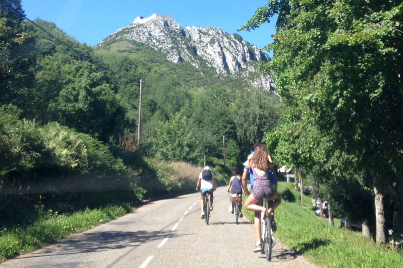
The tour of the pog:
A 360 degree walk around the base of the castle (approximately 2 hours).
Leave the castle car park and take the “weavers trail”; at the ruin of “Pechiqueille”, turn right towards Serrelongue, then return by road through the gorges of Carroulet and then follow the “sentier des purs”.
The Pic of Saint-Barthélémy (2,348 m) and the Peak of Soularac (2,368 m):
These are the mountains at the end of the Montségur valley.
5 1/2 hours of hard walking, first through the shade of an ash wood, then in rocky slopes with rhododendrons and fir trees.
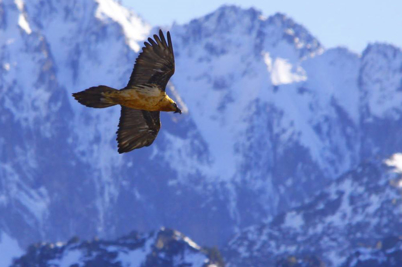
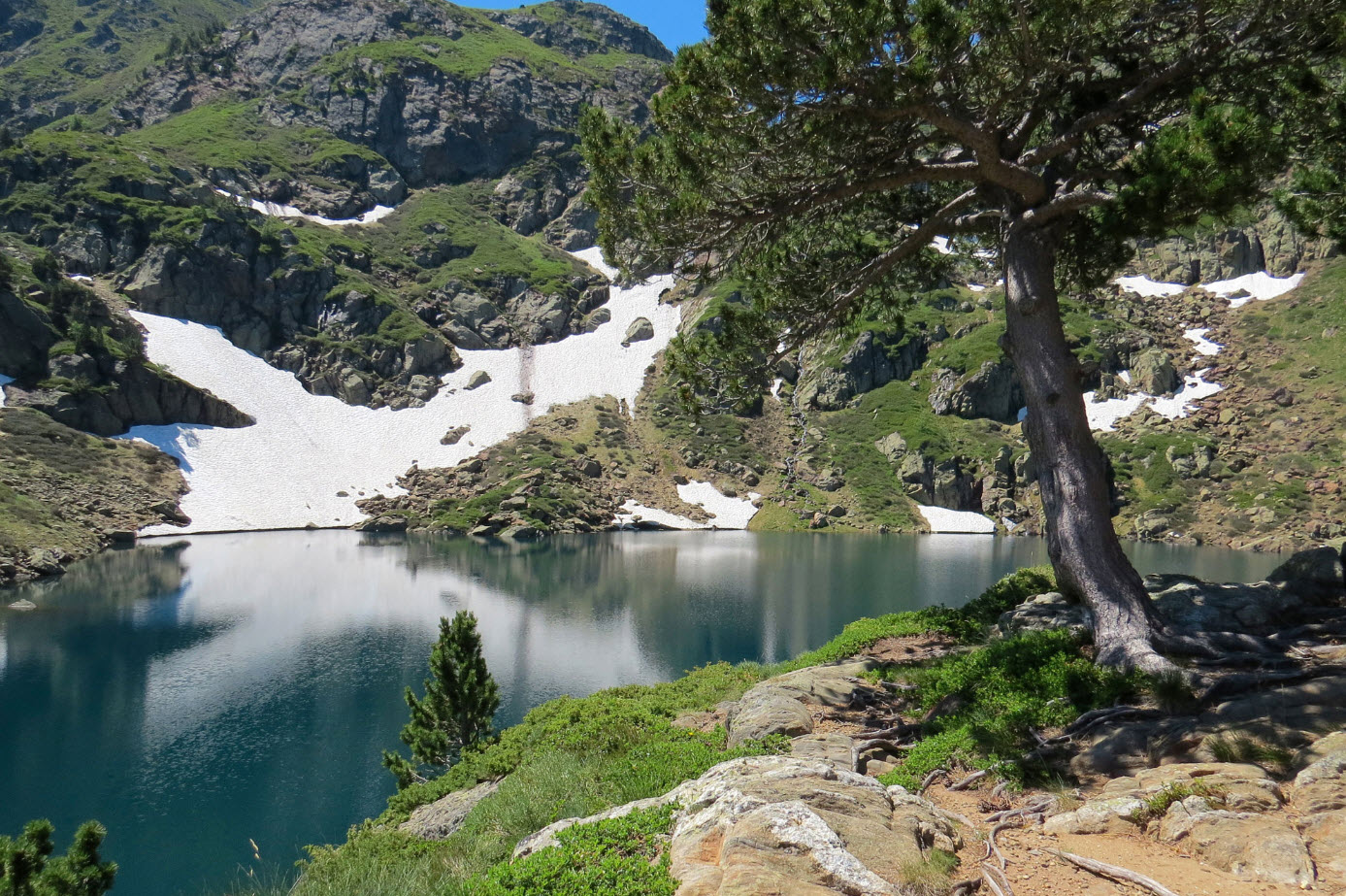
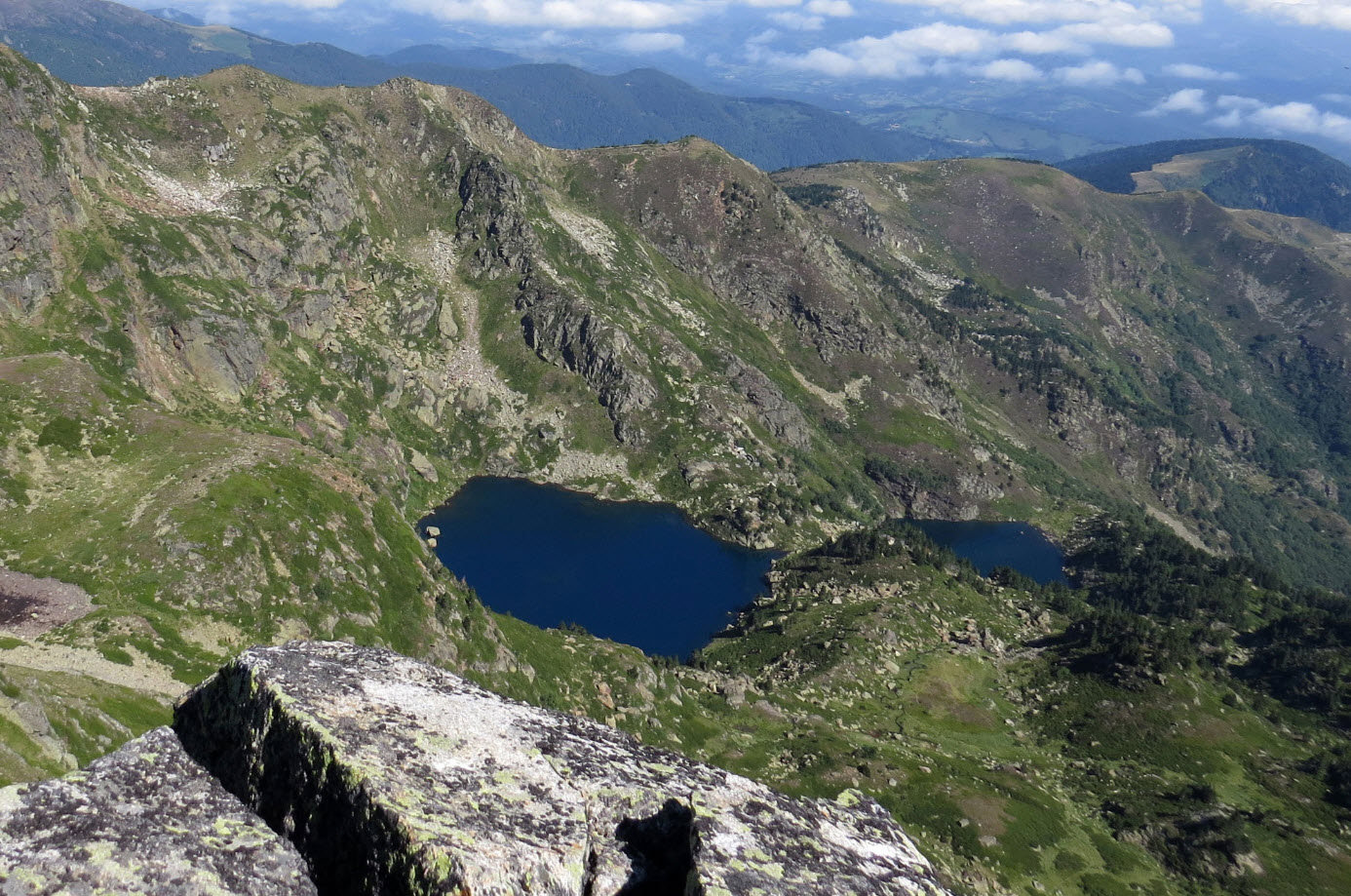
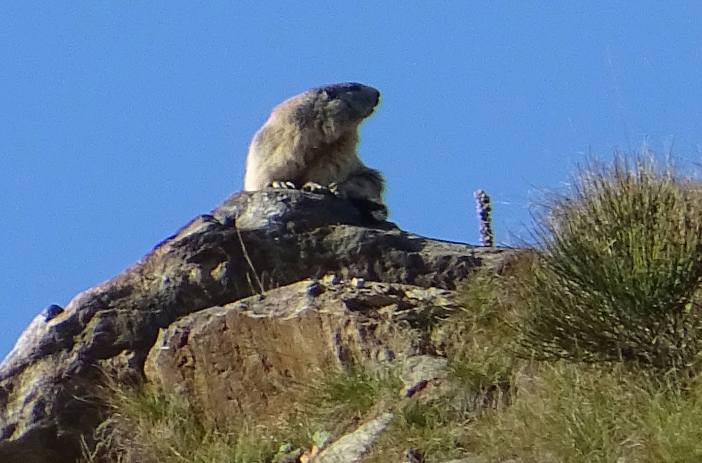
High above you will admire the deep blue lakes and the Pyrenean mountain chain. A mountain still preserved from humanity, where you will cross isards (chamois), deer and birds of prey.
The Jasse de Prémaout:
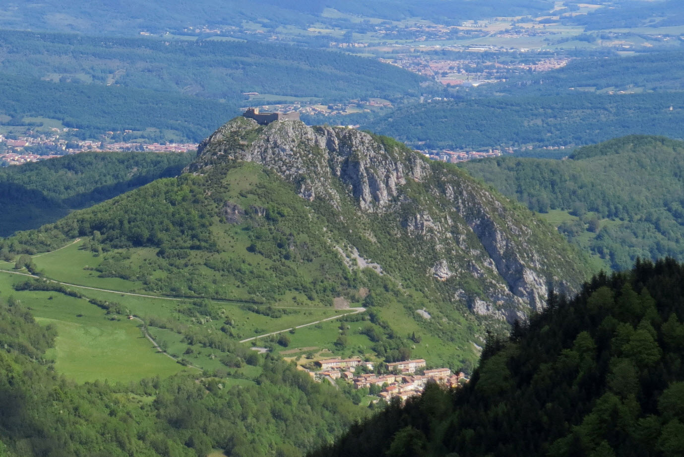
2 hours of walking will lead you to a small refuge that overlooks the bottom of the valley of Montségur, from where you can see the castle of Montségur perched on its rocky peak with, at its base, the village of Montségur.
The Canalette:
A 1 hour 30 walk to reach grassy mountain heaths with gentians, holly and mountain ash and from where you will have a view of the Frau mountain (foothills of the Tabe massif), the pass of Peyre and the twin peaks of Soularac and Saint-Barthélémy.
The tour of the Roc de la Mousse:
A loop of 2 hours of walking, with a difficult passage on a steep slope. You will discover below, the gorge of Carroulet and opposite, the Roc de la Tour, a steep ridge which was used by the assailants in December 1243 and allowed the storming of the castle a few weeks later.
For a simple family walk, you can follow the course of the River Lasset by following the path that runs along this stream. You will be able to admire the diversity of the flora and, if you know how to be discreet, to see some river trout.
> To know more
www.ariege-pyrenees-cathares.fr
www.ariegepyrenees.com
www.ariegenature.fr
